

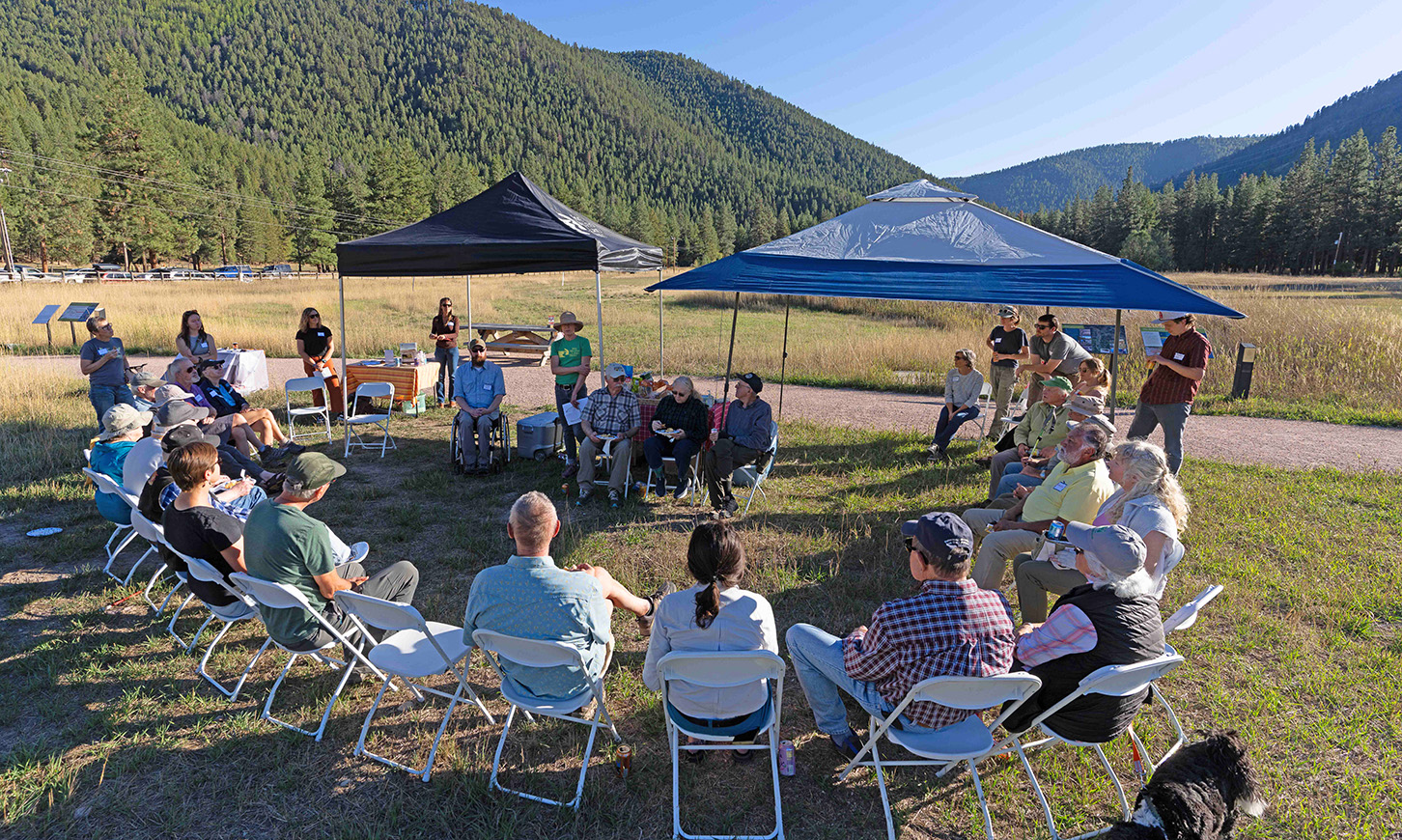
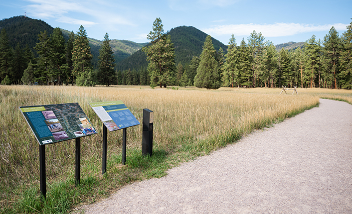
Three years ago, we launched our Confluence Gateway Initiative to create a river park designed for all Montanans. This fall, we are thrilled to invite you to celebrate the success of the Initiative, honor the legacy of the Missoula Open Space Bond, and get outside on National Public Lands Day.
Five Valleys and our partners will host presentations and tours, followed by appetizers, beverages and remarks:
3:00pm - 5:00pm: Community partner presentations:
5:00pm-5:45pm: Grand Re-Opening Celebration
Help us plan for food by RSVP'ing to Lena at lena@fvlt.org by Wednesday, September 23th.
The Confluence Grand Re-Opening is a part of the 2026 Missoula Open Space Adventure Tour. The Missoula Open Space Adventure Tour invites residents to celebrate and explore some of the conservation lands that the Missoula Open Space Bond - through residents' tax dollars - has made possible. Between September 19-27, community members are challenged to visit 10 featured bond project locations (like the Confluence) across Missoula County. By visiting and checking in at a location, you are entered to prizes. Participants who visit the most places are entered to win the biggest prizes! Learn more.
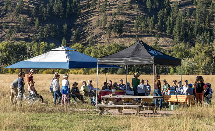
From Missoula, drive east on Interstate 90 for approximately 22 miles. Take Rock Creek exit 126 and turn right to cross the river. Follow Rock Creek Road south for approximately .4 miles. The Confluence's west side trailhead will be on the right (west) side of the road (View map of West Side Trailhead).
We hope to see you there!
Header photo of the 2024 Confluence open house by Paul Queneau
